Part One: Arrival and First Impressions
When I first read the opening chapter, Portrait of an Island, in A. F. Langham’s The Island of Lundy (1994), it reminded me of Michael Portillo’s Great British Railway Journeys. Portillo travels with Bradshaw’s Victorian guide in hand. The book sets the route. He responds to what he finds along the way. I realised I wanted to do something similar.
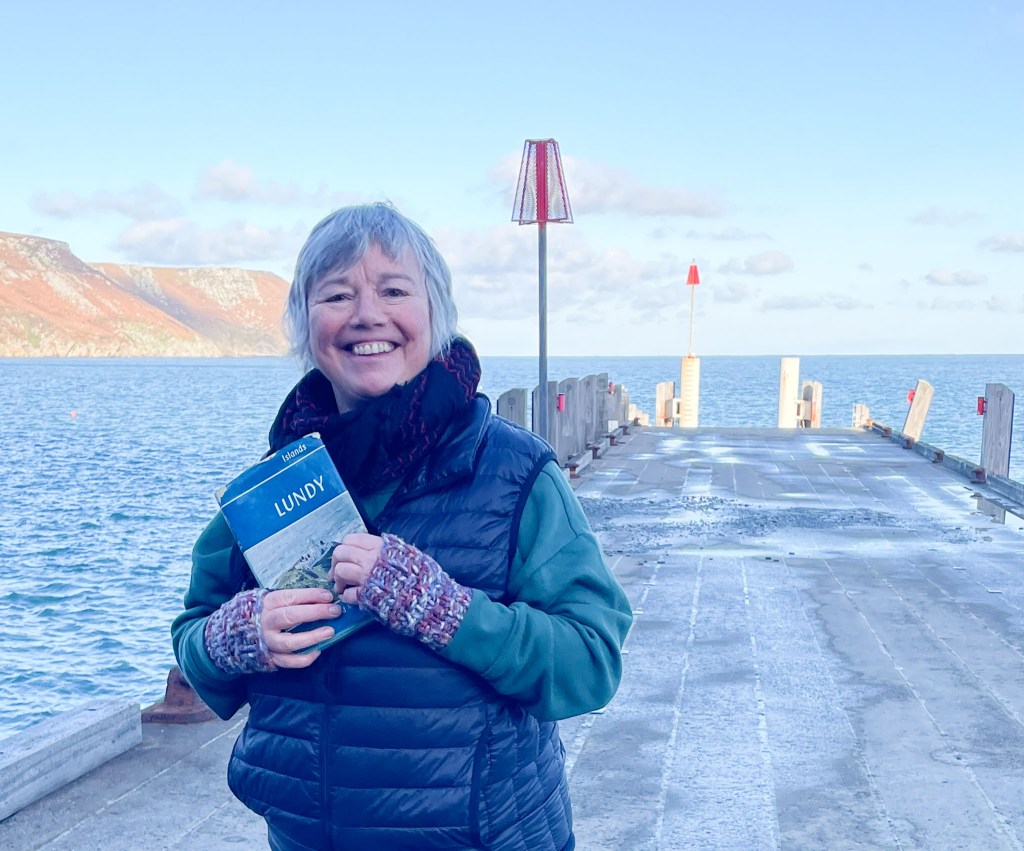
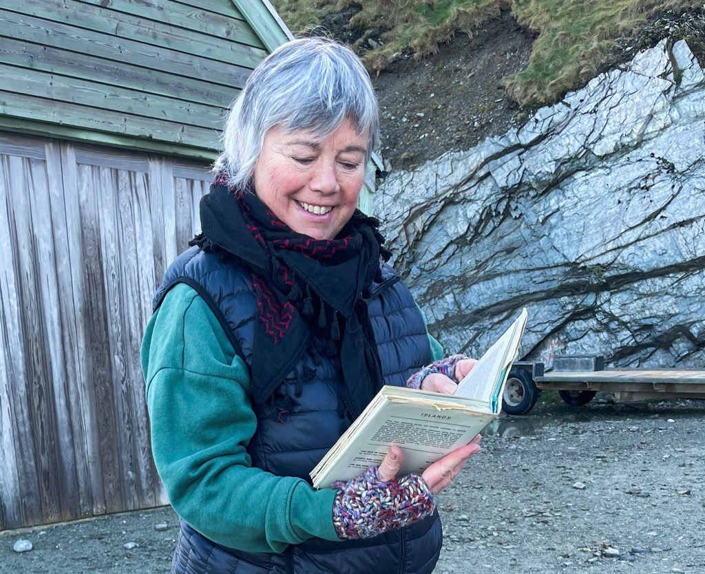
Like Bradshaw—and then Portillo—I decided to let Langham’s book guide my own journey across Lundy. With my well-thumbed copy in hand, I start where most visitors do: at the Landing Bay.
On page 14, Langham opens with a piece of Devon folklore. It still feels entirely exact when Lundy is viewed at a distance.
Lundy high, it will be dry,
Lundy low, it will be snow,
Lundy plain, it will be rain,
Lundy in haze, fine for days. page 14
He notes that “the usual approach to the island is from the east, which reveals its gentler aspect.” For today’s travelers, the east is the only option. Although I’ve spoken to many visitors who remember landing at Jenny’s Cove on the west side! These stories still sound improbable, even now. Nonetheless, they are entirely true.
Langham describes a “green blanket of fern, and rhododendrons which, in early summer, glow pink and mauve.” The ferns have stayed. The rhododendrons have almost entirely disappeared. The Lundy Field Society has removed them through years of careful work. Their efforts protect the island’s unique native flora and fauna. This includes the rare and endemic Lundy Cabbage. It’s one of those moments where the past and present visibly part ways.
Some things, nevertheless, are unchanged.
The sea is still “vivid blue-green……Three Quarter Moon Bay curves around its pebbled beach, with the castle rising above”. Langham.
This was the skyline the National Trust wanted to create. They aimed for this when the Signal Cottages beside the castle were demolished in the early 1990’s. Even now, it remains a dramatic and unmistakable arrival and departure point.

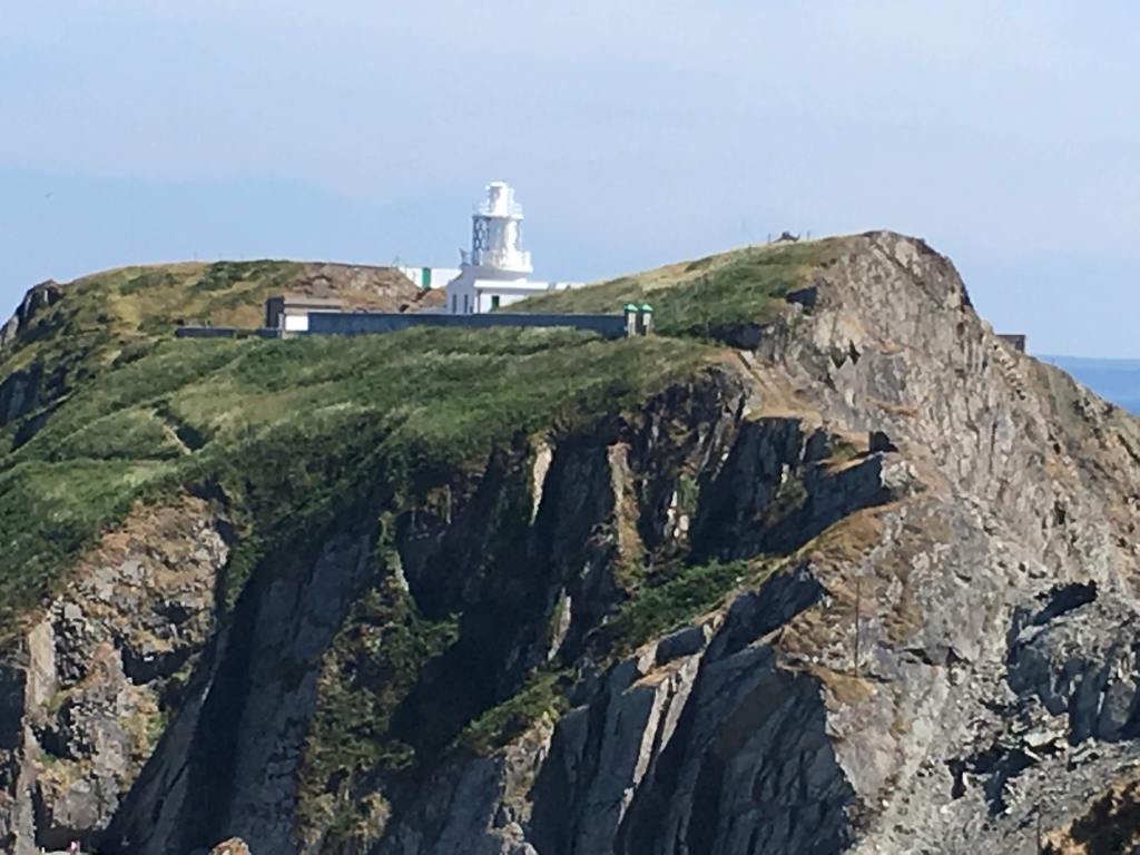
Langham writes of the winch and cable once used to haul heavy stores up to the South Light. I have recently observed Trinity House staff carry their own supplies up the steps. I watched them whilst swimming in the sea below – several trips up the steps carrying their tools. They were at the end of their working day and heading back from the North Light. (They use the South Light as their base). Then they headed back to the Marisco Tavern for dinner! Occasionally, a helicopter briefly interrupts the quiet. It drops its load and disappears again.
Christie’s Quay is a place Langham mentions in the book. It is also a place where I now spend a great deal of time. It’s a reliable swimming spot when the sea elsewhere is rougher. Many visitors have had their first dip with the Lundy Bluetits here. Built for Mr Christie’s boat Lerina, it still feels purposeful and sheltered. I was gifted a Painting of Christie’s Quay by a visitor. This now has pride of place in my home, a reminder of this historic quay. Above the Quay lies the narrow saddle overlooking Lametry Beach. It is a favourite lunchtime spot of mine. I sit there with my flask of coffee. From here, you can see both East and West sides of the island at the same time. You can check out my Lunchtime video Here.
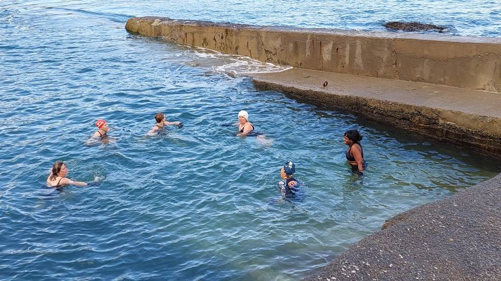
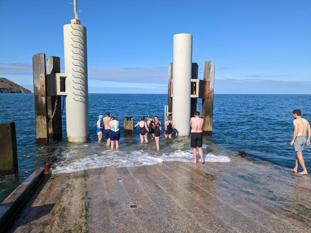
Disembarkation, Langham explains, once took place via a wheeled wooden landing or by dinghy. Now we have the jetty, which was built in 1999. It is another place where I swim. It’s also another marker of how the arrival to Lundy has changed over the years.
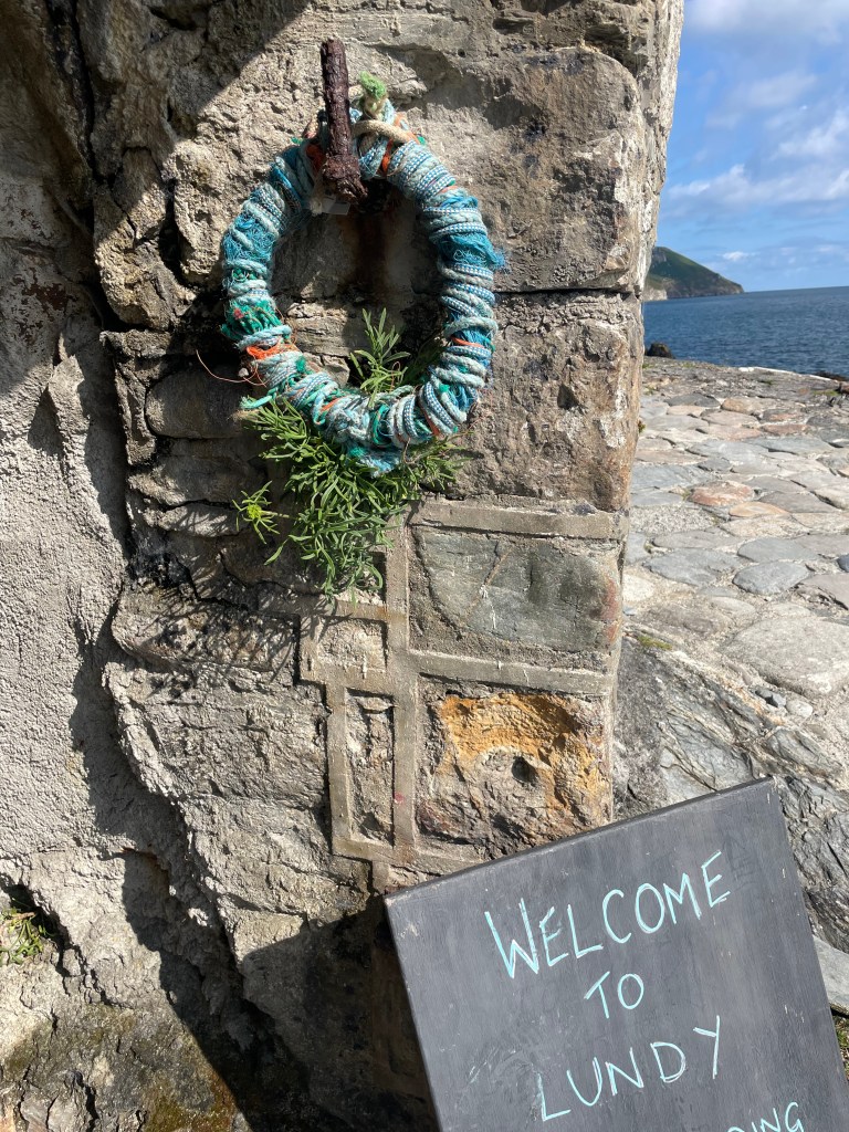
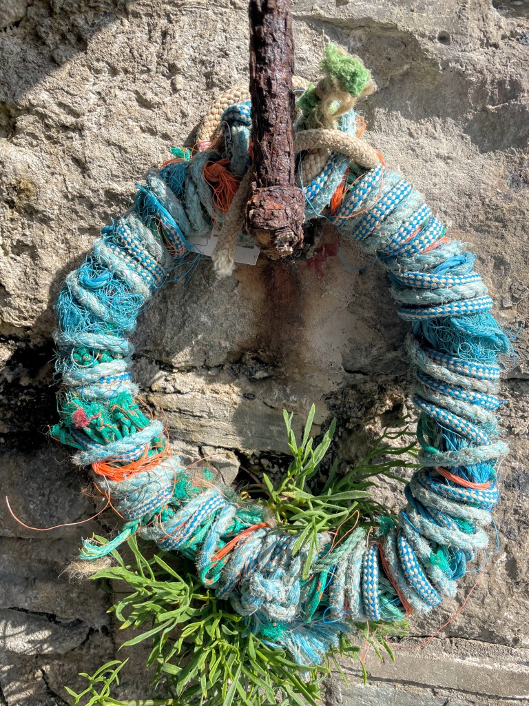
Page 15, Langham mentions a crumbling fisherman’s cave, once used to store nets. This is where I later hung one of my ghost-net wreaths. It was a small gesture to the fishing gear still washed ashore. It also acknowledged the stories that linger long after the work has gone. The cannon Langham describes—dragged from the east side and abandoned on the beach—is no longer there.
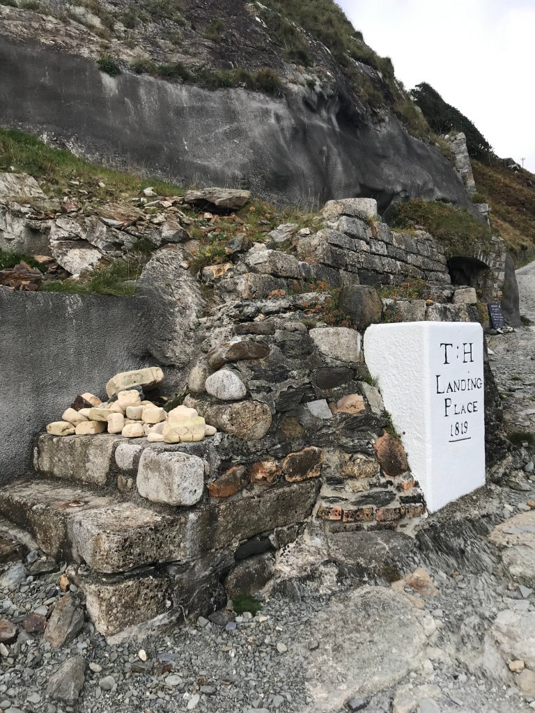
One point of reference remains constant: the Trinity House marker stone, the only survivor of the 1954 landslip. Today, it makes an excellent seat. I remember sitting here one Summer and watching all the visitors start their climb up the hill. I even penned a poem! You can find this in the blog post The Arrivals.
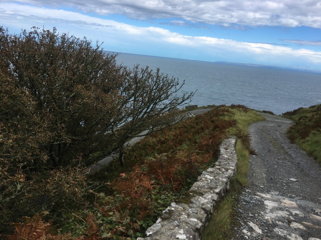
Langham goes on to describe the Beach Road and its predecessor, now known as the Goat Track. It’s hard to imagine this was once the main route. You carefully pick your way down the Goat Track today. Just below Hanmers, this path carried the island’s traffic.
Living on Lundy, I spend a lot of time chatting with visitors about their journeys here. One man from North Devon told me a story I’ve never forgotten. One night, he had been drinking with other fishermen at Hanmers. He enjoyed their company a little too much. Afterward, he began his walk back to his boat. He stumbled and fell from the cliff edge at Hanmers. He landed just below the Beach Road, covered in bracken and scratched by thorns! I love these stories that visitors share. They’re often serendipitous, surfacing only through conversation. They don’t show up in guidebooks, but they’re part of the island’s living archive.

Page 16, Langham’s route goes up past what is referred to as Lone Pine Gulch. The author notes that;
‘the road curves inland and up to Millcombe Valley, and affords a most beautiful of the East Side at Windy Corner.
I can only imagine that Lone Pine Gulch is what we locals now refer to as Smelly Gully. From here, the road rounds Windy Corner and continues into Millcombe Valley.

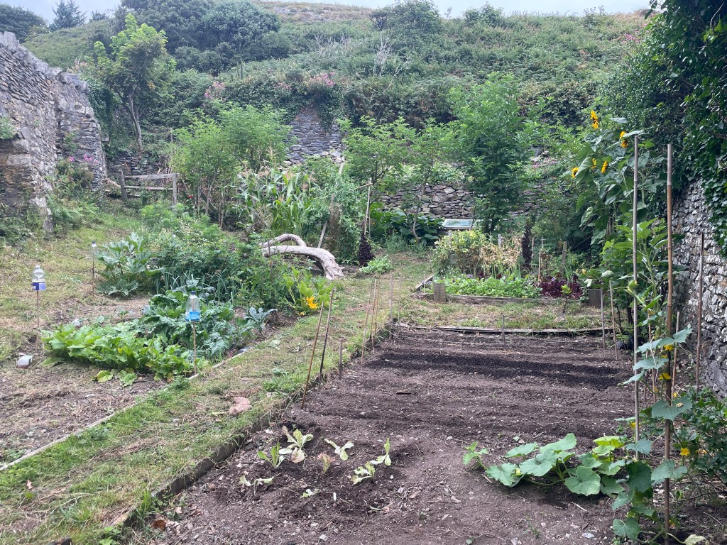
This valley remains one of the few places on Lundy where trees offer real shade. Langham describes the remains of the water mill on the right and the three walled gardens. He notes that a building on the right was once a coal store. It still stores fuel, though it is now known as the gas store.
Today, visitors and residents are enjoying the results of the care and labor of Ian and Sarah. They are breathing new life into the Millcombe gardens. In true Lady Whisteldown fashion, (you need to watch Bridgerton to understand!) I’ll quietly share that there are some newcomers planned for this space. These changes will add yet another layer to this evolving garden space.
The carriage house and stables Langham mentions are sadly no longer here, but the little waterfall still runs. From Millcombe, we move towards the battlements—formerly known as Peeping Corner. I love the idea that these were built to prevent carriages and carts from tipping over the edge. I stay quietly grateful for them on days when I’m driving the Land Rover down the Beach Road. I still love the idea of Peeping Corner! It offers a splendid view of the Bay and was a painting location when I ran the Lundy Art Trail.
Here, Langham says we come to what used to be the main track leading up to the Castle. It is a pleasant route passing by Hanmers. It still is a good shortcut. However, as I know much to my chagrin, it can be slippery on a wet day! The old Goat Track also climbs up from the beach here. It folds the island’s routes back into one another.
In Part Two, I will continue to follow Langham’s route from Millcombe. I will climb up onto the Plateau and along the High Street. I will trace how this central spine of the island has shifted—and endured—over time. Please subscribe to my blog if you don’t want to miss the next installment.
The pleasure of traveling with a book like Langham’s. It doesn’t tell you exactly what you’ll find—it tells you where to look. You might like to follow the walk yourself. Copies of The Island of Lundy often can be found on the bookshelves of Landmark properties. Alternatively, they can be found through second-hand booksellers online.

2 responses to “Portrait of an Island”
I can remember landing at Jenny Cove, when it was east wind.
LikeLike
It must have been crazy …. What is your experience ?
LikeLike