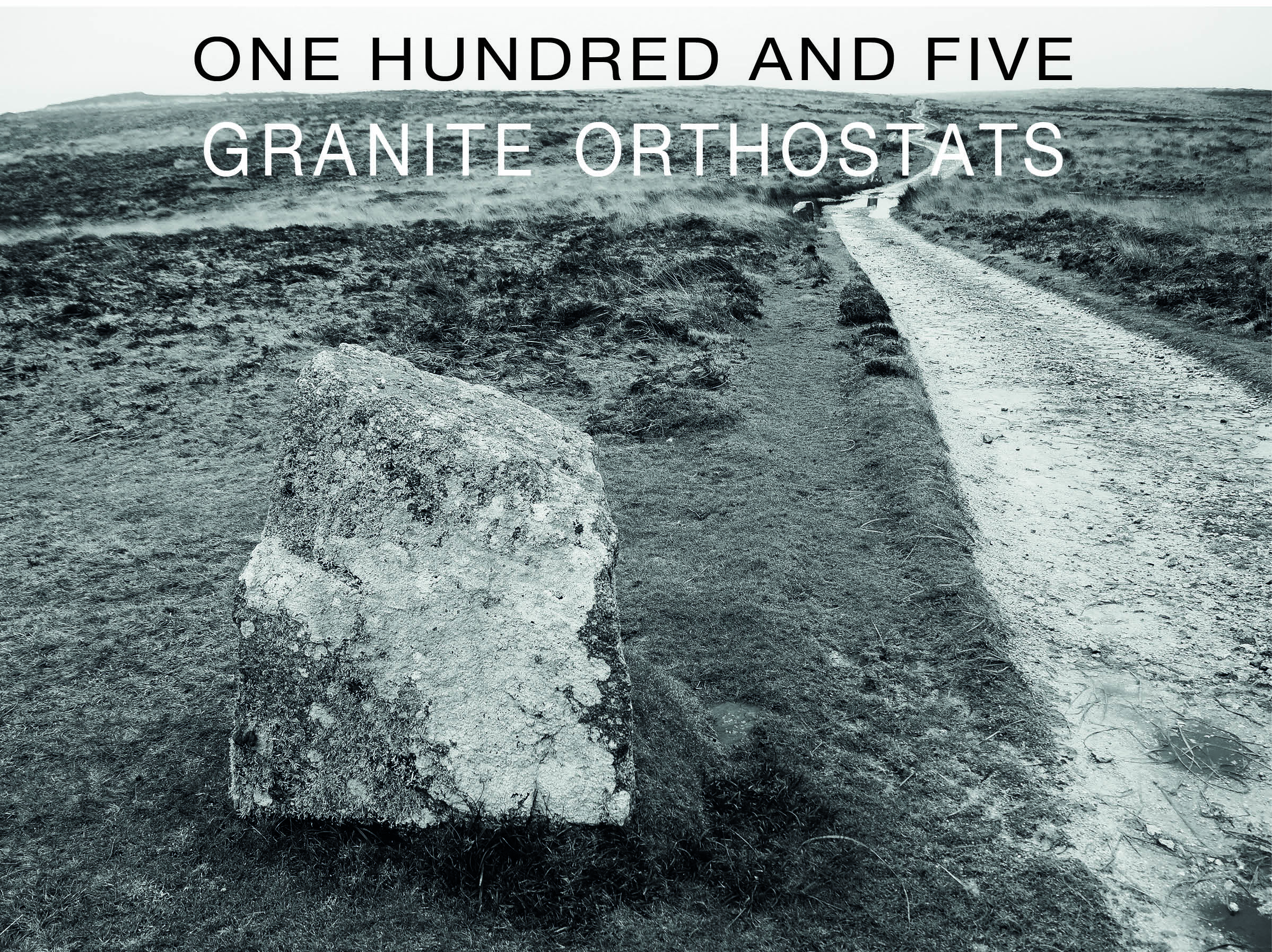
Some days on Lundy, the island closes in. The morning I walked the Granite Track from the village to the North End, the fog had settled low and damp across the plateau. Looking back towards the village, the buildings dissolved into grey. Puddles had gathered around the base of the marker stones. Ironically this helped as today Iwas not a day about views. It was a day for paying attention to historic marker stones.
I had decided to walk a defined route for once — not my usual wandering off the beaten track, but a straight line up the spine of the island, following the granite marker stones that have flanked the main track since 1909. In fog like this, it was easy to understand exactly why they were put there.
The route was from the village to the North End. A journey of just over 2 miles representing 3/4 of the length of the Island. This was not my usual wandering off the beaten track. Instead, it was a defined route. I followed the marker stones that flank the main path. I had a planned start and end point. I likened it to a mini pilgrimage.
The history of the marker stones
The granite marker stones, have been in position along the main track since 1909. These stones helped the Lighthouse keepers. They followed the main route between the Lighthouse in the North and the Village in the South. These would have been very useful on dark walks to the Tavern. They were also helpful when the island is covered in fog!
More recently they offer a waymarker for visitors. Some visitors be headed to Tibbetts, the most remote accommodation on the island. It also serves as a marker. This helps those who have wandered off the main track. They have lost sight of the path. The track runs straight up the middle of the Island. Regular visitors refer to it as the M1, even though it has no cars!
As I had my camera I decided to photograph each Marker Stone and count their number. The stones are placed at exact distances from each other. In my strides, that meant 44 strides between each one. So a total of 4,620 a distance of a little over 2 miles
A habitat
According to the Lundy Field society, the marker stones offer good habitats for lichens. This is especially true for species that thrive with some nutrient enrichment. An example of this is enrichment from bird droppings.


Most of the stones are still intact. Yet, some have fractured and broken off. Only a smaller part of the whole remains. According to history, the stones were never supposed to be this large but someone apparently got their Maths wrong!
Hamish Fulton – Walking Artist Inspiration
During my MA I discovered Hamish Fulton, a walking artist who has spent more than fifty years making art solely from the experience of walks. Like me, he is drawn to pilgrimage as both physical and creative practice. What struck me most was how he uses graphic design as what he calls the ‘container’ for his walk texts — numbers, data, duration, distance — all shaped into images that carry the weight of the journey. I wanted to try something similar here. The 105 stones. The 4,620 strides. The fog. These are not just facts — they are the walk
I also used numbers and data to represent the walk.

References:
Hamish Fulton: The pilgrim and the nomad (no date). [Online]. Available at HTTPS://walkingart.interactive.org/2018/12/Hamish-Fulton-Curry. [Accessed on 17/02/2024]
https://www.lundy.org.uk/about-lundy/wildlife-on-the-island/lichens